Building date: Possibly razed 1872 or before.
Original use: Black smith shop.
Corner structures:
Mortar application and content:
Types and uses of stones:
Types and choice of windows:
Structures with similar masonry details:
Masons who worked on building:
Unique features:
Map views courtesy Google Maps. Address is Google Earth confirmed; 42°53'09.13"N 77°41'18.41"W.
Town of Avon and Livingston County Highway 1976 Maps
John Sutton Black Smith Shop history sheet. From the personal research of cobblestone historian Karen Crandall.
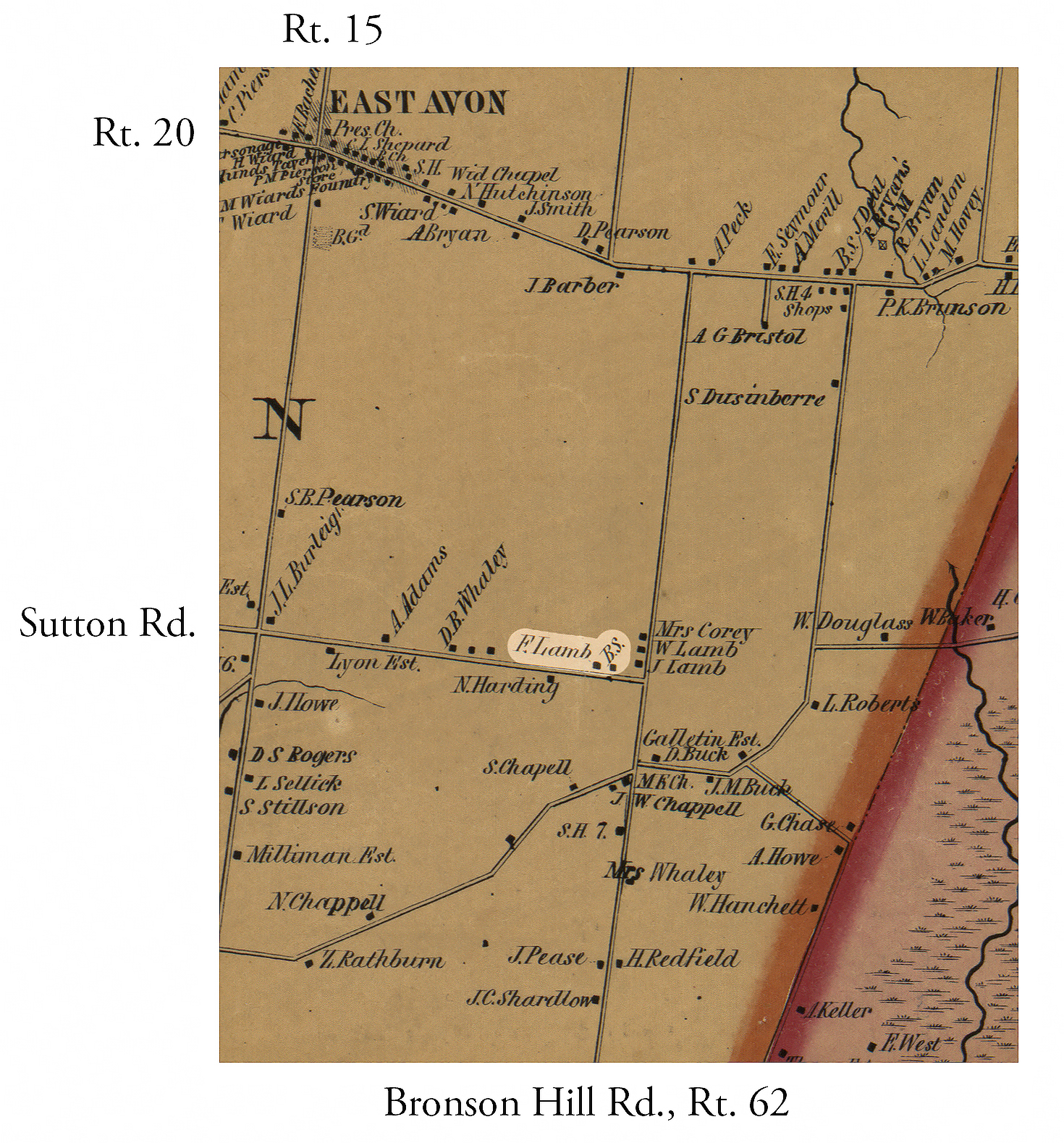 1852 Livingston County Map Excerpt Avo-7.jpg ¹ | 
|
¹ 1852 Livingston County Map Excerpt Avo-7 courtesy Library of Congress.
